
Luling 🇺🇸
-
Nautical Twilight begins:05:25 amSunrise:06:21 am
-
Sunset:07:37 pmNautical Twilight ends:08:32 pm
-
Moonrise:-
-
Moonset:09:32 am
-
Moon over:04:42 am
-
Moon under:05:02 pm
-
Visibility:79%
-
 Waning Gibbous
-
Distance to earth:379,555 kmProximity:61.4 %
Moon Phases for Luling
-
average Day
-
major Time:03:42 am - 05:42 am
-
minor Time:08:32 am - 10:32 am
-
major Time:04:02 pm - 06:02 pm
-
minor Time:11:33 pm - 01:33 am
| Date | Major Bite Times | Minor Bite Times | Sun | Moon | Moonphase | Tide Times |
|---|---|---|---|---|---|---|
|
Sun, 28 Apr
|
03:42 am -
05:42 am
04:02 pm -
06:02 pm
|
08:32 am -
10:32 am
11:33 pm -
01:33 am
|
R: 06:21 am S: 07:37 pm |
R: - S: 09:32 am |
Waning Gibbous |
|
|
Mon, 29 Apr
|
04:33 am -
06:33 am
04:59 pm -
06:59 pm
|
09:33 am -
11:33 am
11:33 pm -
01:33 am
|
R: 06:20 am S: 07:38 pm |
R: 12:33 am S: 10:33 am |
Third Quarter Moon |
|
|
Tue, 30 Apr
|
05:32 am -
07:32 am
05:55 pm -
07:55 pm
|
12:25 am -
02:25 am
10:39 am -
12:39 pm
|
R: 06:19 am S: 07:38 pm |
R: 01:25 am S: 11:39 am |
Third Quarter Moon |
|
|
Wed, 01 May
|
06:28 am -
08:28 am
06:48 pm -
08:48 pm
|
01:10 am -
03:10 am
11:46 am -
01:46 pm
|
R: 06:18 am S: 07:39 pm |
R: 02:10 am S: 12:46 pm |
Third Quarter Moon |
|
|
Thu, 02 May
|
07:22 am -
09:22 am
07:40 pm -
09:40 pm
|
01:50 am -
03:50 am
12:54 pm -
02:54 pm
|
R: 06:17 am S: 07:40 pm |
R: 02:50 am S: 01:54 pm |
Third Quarter Moon |
|
|
Fri, 03 May
|
08:14 am -
10:14 am
08:31 pm -
10:31 pm
|
02:26 am -
04:26 am
02:02 pm -
04:02 pm
|
R: 06:16 am S: 07:40 pm |
R: 03:26 am S: 03:02 pm |
Waning Crescent |
|
|
Sat, 04 May
|
09:03 am -
11:03 am
09:19 pm -
11:19 pm
|
02:59 am -
04:59 am
03:08 pm -
05:08 pm
|
R: 06:15 am S: 07:41 pm |
R: 03:59 am S: 04:08 pm |
Waning Crescent |


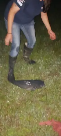
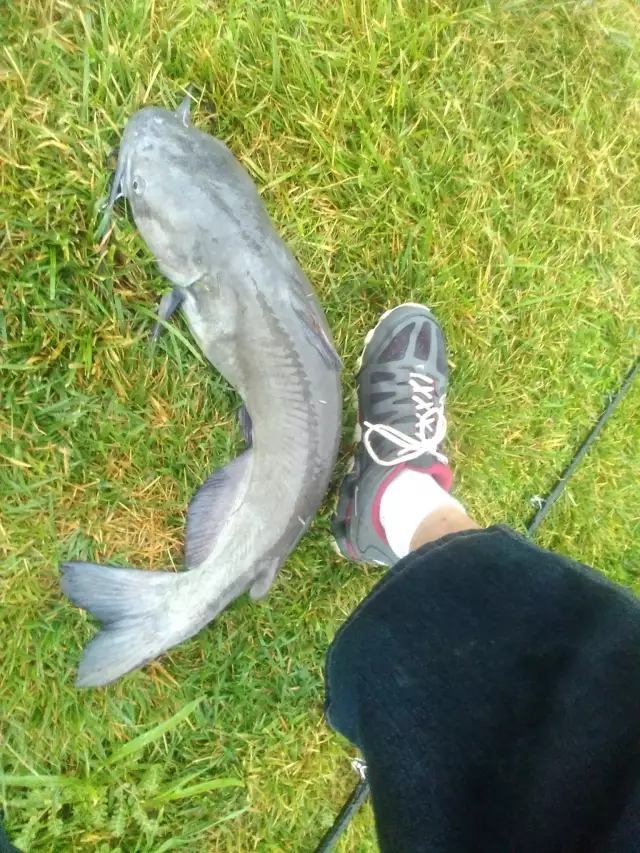
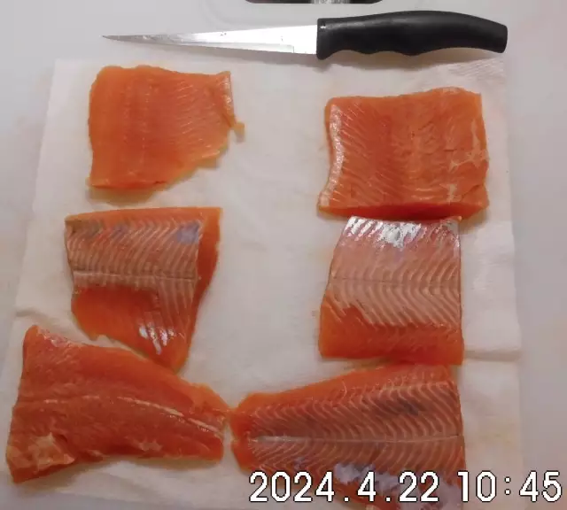
uploaded by: Chadderikk

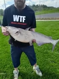
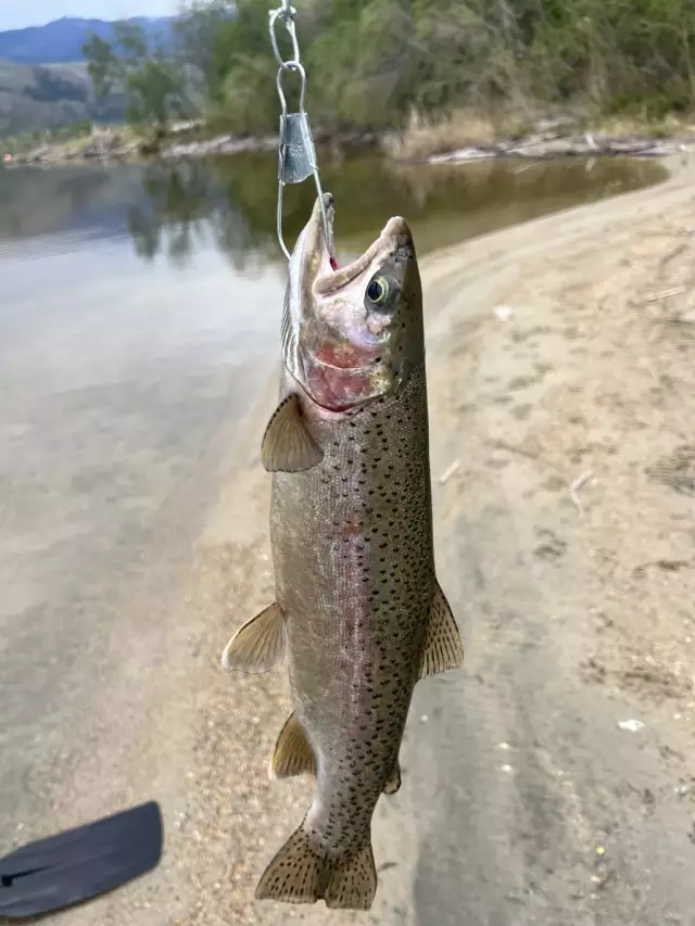
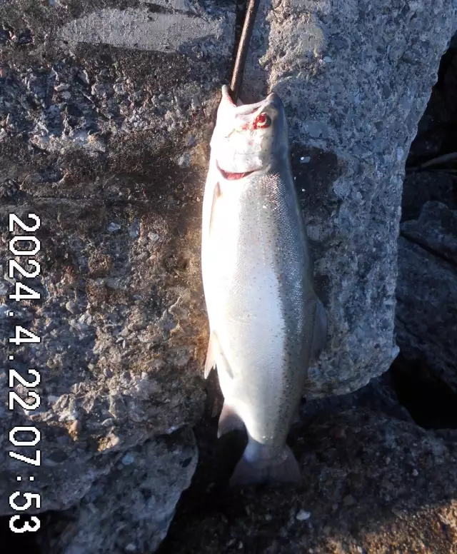
uploaded by: Mike Brooks (Savage)
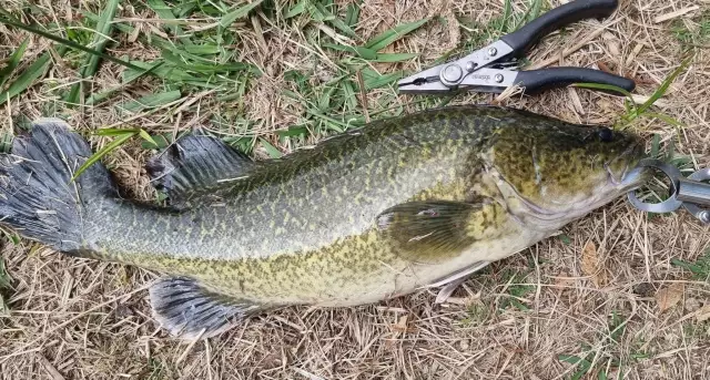
uploaded by: Mike Brooks (Savage)

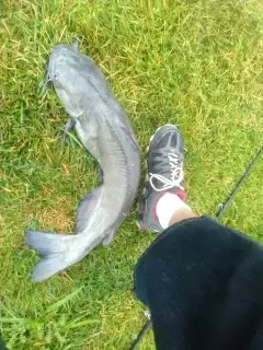
uploaded by: Terry Foster
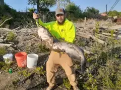
uploaded by: Doug Parr
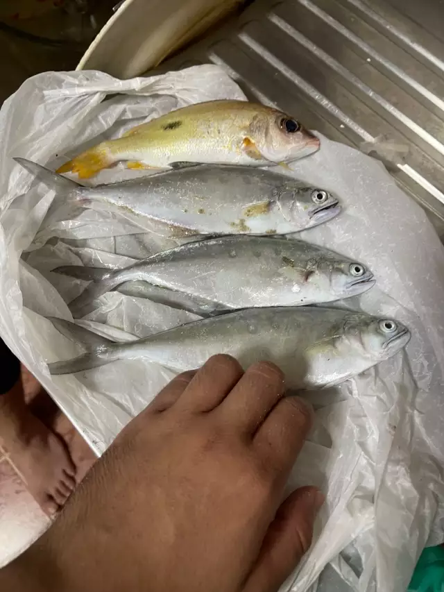
uploaded by: Ahmed Elbasha
uploaded by: Hoza
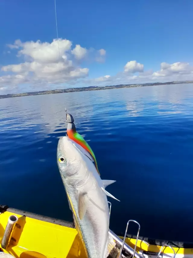
uploaded by: PT Edward fisher
uploaded by: PT Edward fisher
uploaded by: This_Big110
Best Fishing Spots in the greater Luling area
Beaches and Bays are ideal places for land-based fishing. If the beach is shallow and the water is clear then twilight times are usually the best times, especially when they coincide with a major or minor fishing time. Often the points on either side of a beach are the best spots. Or if the beach is large then look for irregularities in the breaking waves, indicating sandbanks and holes. We found 15 beaches and bays in this area.
Bayou des Saules - 7km , Cross Bayou Canal - 7km , Bayou Cypriere Longue - 7km , Bayou Bois Piquant - 9km , Bayou Crocodile - 10km , Grand Bayou - 10km , Bayou Petit - 11km , Bayou Verret - 12km , Bayou Piquant - 13km , Bayou Saut D'Ours - 13km , Bay Laurent - 15km , Bayou Gaudin - 15km , Grand Bayou Canal - 15km , Knight Bay - 17km , Knights Bay Island - 17km
We found a total of 88 potential fishing spots nearby Luling. Below you can find them organized on a map. Points, Headlands, Reefs, Islands, Channels, etc can all be productive fishing spots. As these are user submitted spots, there might be some errors in the exact location. You also need to cross check local fishing regulations. Some of the spots might be in or around marine reserves or other locations that cannot be fished. If you click on a location marker it will bring up some details and a quick link to google search, satellite maps and fishing times. Tip: Click/Tap on a new area to load more fishing spots.
Hale Boggs Memorial Bridge - 1km , Davis Pond - 3km , Ellington Canal - 3km , Twentysix Mile Point - 3km , Blouin Canal - 4km , Garland Canal - 4km , King Canal - 4km , Peterson Canal - 4km , Cousin Canal - 5km , Hymel Canal - 5km , Eighty Arpent Canal - 6km , Louisa Canal - 6km , Vial Canal - 6km , Bayou des Saules - 7km , Cross Bayou Canal - 7km , Bayou Cypriere Longue - 7km , Lanaux Canal - 8km , Sellers Canal - 8km , Bayou Bois Piquant - 9km , Canal Number Three - 9km , Paradis Canal - 9km , Canal Number Five - 10km , Canal Number Four - 10km , Canal Number Twentyfour - 10km , Canal Number Twentythree - 10km , Bayou Crocodile - 10km , Dusuaus Canal - 10km , Grand Bayou - 10km , Louisiana Cypress Lumber Canal - 10km , Sauls Canal - 10km , Walker Canal - 10km , Bonnet Carre Spillway - 11km , Canal Number Six - 11km , Canal Number Twenty - 11km , Canal Number Twentyone - 11km , Canal Number Twentytwo - 11km , Flux Canal - 11km , Outfall Canal - 11km , Bayou Petit - 11km , Canal Number Eight - 12km , Canal Number Eighteen - 12km , Canal Number Nineteen - 12km , Canal Number Seven - 12km , Canal Number Seventeen - 12km , Johnson Canal - 12km , Bayou Verret - 12km , Victor Canal - 12km , Canal Number Fourteen - 13km , Canal Number Nine - 13km , Canal Number Sixteen - 13km , Canal Number Thirteen - 13km , Crawford Canal - 13km , Humble Canal - 13km , Bayou Piquant - 13km , Bayou Saut D'Ours - 13km , Thirtyfive Mile Point - 13km , Canal Number Fifteen - 14km , Canal Number Twelve - 14km , Duncan Canal - 14km , Martins Island - 14km , Marys Canal - 14km , Polete Canal - 14km , Providence Canal - 14km , Avondale Homes Number Two Canal - 15km , Bay Laurent - 15km , Bonnet Carre Island - 15km , Burchell Canal - 15km , Canal Number Eleven - 15km , Canal Number Ten - 15km , Bayou Gaudin - 15km , Grand Bayou Canal - 15km , Little Pecan Tree Canal - 15km , Pecan Tree Canal - 15km , Pointe Cypres - 15km , Pointe Lavin Canal - 15km , Twelvemile Point - 15km , Avondale Homes Number One Canal - 16km , Avondale Outflow Canal - 16km , Saint Charles Canal - 16km , Simoneaux Ponds - 16km , Soniat Canal - 16km , Waggaman Canal - 16km , Avondale Canal - 17km , Baie Des Deux Chenes - 17km , Lake Cataouatche - 17km , Glen Dale Canal - 17km , Knight Bay - 17km , Knights Bay Island - 17km
Comments